S 0° 33’ 36” W

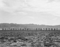
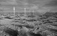
S 0° 33’ 36” W is a series of rigid and clear acrylic tubes marking the boundary defined
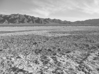
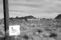
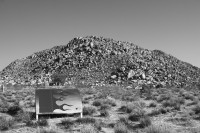
by the survey bearing between two large pieces of undeveloped land in the open Joshua Tree terrain. From either the car or on foot, one is acutely aware of the emptiness of the space. Distance and scale are difficult to grasp, and one experiences a subtle feeling of uneasiness mixed with awe.
Like much of the rest of the surrounding high desert, subtle repetition and long lines
give the land form. Occasional long fences, roads that conform to the Jeffersonian grid,
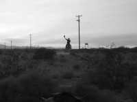
and rhythmically placed telephone poles give some structure to the openness. These
elements are swallowed up by the open terrain and yet their faint presence provides a
sense of scale in an otherwise undefined area.
OCTOBER 25, 2003 - OCTOBER 26, 2003
